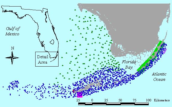
FKNMS and FL Bay Interactive Data Plots and Downloads
Data on this site were collected by generous funding from the following agencies:

US Environmental Protection Agency |

National Oceanic and Atmospheric Administration |

National Park Service |

National Science Foundation |
Synoptic Maps
Benthic Habitats of the Florida Keys National Marine Sanctuary (FMRI/NOAA 1998)
Additional Datasets for Download
TemperatureAll Sites (2000-2019)
FKNMS (Offshore and Nearshore) Sites (2002-2019)
FKNMS Offshore only (2002-2019)
FKNMS Nearshore only (2012-2019)
Everglades National Park (2002-2019)
Dry Tortugas National Park (2011-2019)
Aquarius Reef Base - Temperature
Datasets (from 1991-2018) are available from Conch Reef (at 20 feet, 70 feet, and 105 feet) and from the Queen of Nassau wreck (200 feet).
Click here to view data page
Methods and Protocols
Field Methods
Braun-Blanquet Survey Methods
Productivity Methods